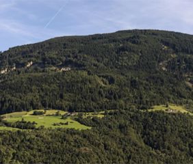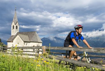
Brigglries-Tour
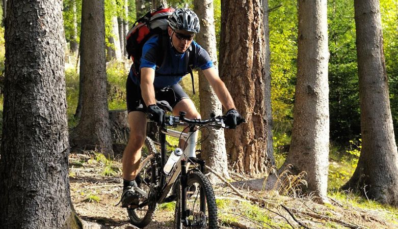
Mountainbike
Route length in km: 16,7
Vertical climb: ascent 169m – descent 966m
Surface: forest path
Required technical skills: S0 – easy
Directions
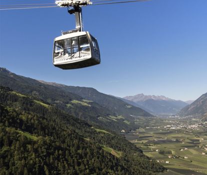
Cable car to Aschbach/Rio Lagundo, at the infopoint on the mountain station left on path n° 27A and further on path n° 30, turn left, past the stone quarry to reach the street to Quadrat, past the restaurants Brünnl and Niederhof to get back to Töll/Tel and along the Etsch Cycle Path Via Claudia Augusta back to the starting point.
Variant descent: Stuanbruch Trail (S3) or Mohlboch Trail (S1)
Variant descent: Stuanbruch Trail (S3) or Mohlboch Trail (S1)
Parking
-Saringstraße, Rabland/Rablà (parking lot No. 1 at the cycling track, close to the railway station)
all-day parking, in the designated parking lot
-Cutraunstraße, Rabland (parking lot No. 2 on the cycling track, close to the railway station )
All-day parking, in the designated parking lot
Public transport
From Meran/o: train 250 or bus 251 to Rabland/Rablà
From Vinschgau valley: train 250 or bus 251 to Rabland
Author's tip
Cuisine for bikers: https://bit.ly/3cnDQlF