Bike & hike from Oberbozen to Rittner Horn
Mountainbike
General description
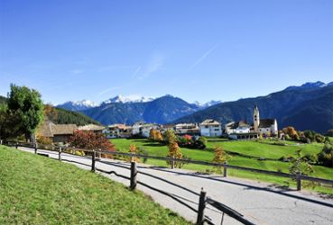
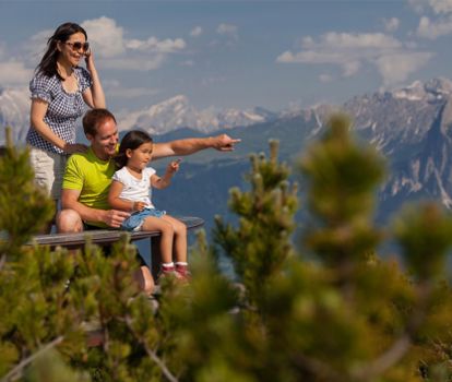
A combined tour by mountain bike and on foot in the heart of South Tyrol to the summit of the Rittner Horn. From Oberbozen to the Schwarzseespitze and the Rittner Horn. Bike & hike to the 360° panoramic summit in the heart of South Tyrol.From the top station of the Ritten cable car in Oberbozen through light-flooded forests and meadows to Pemmern. With the cable car you "float" to the Schwarzseespitze (2,069 m) and from there you hike on comfortable paths to the summit of the Rittner Horn at 2,260 m, from where you can enjoy a unique panorama of South Tyrol's mountain world. A combined tour by mountain bike and on foot in the heart of South Tyrol.
This MTB tour starts in Oberbozen at the mountain station of the cable car Ritten and follows the road in a westerly direction (sign and marking no. 2), at the fork in the road near the stores slightly uphill to the Zagglermoos and left through the small commercial zone to the beginning of the "Wald-Wild-Wunder-Weg". Here you turn left into the "Stauseeweg" (the family hiking trail is a pushing trail for bikers) until you reach the "Lobishof". Continue along the wide hiking trail (marking 18 A) to the "Bacherle", past the "Moserhof" to the country road (be careful at the junction). Here you turn right and follow the road for about 100 m to the bus stop in Riggermoos. Now cross the road to the left and walk moderately steep (marking no. 6) through the sparse "Gunggelwald" forest to the Tann. At the bus stop "Tann" follow the road with little traffic or the flanking footpath (marking no. 1) to Pemmern. At the valley station of the mountain railroad you buy the ticket for the entertaining ride, which saves you about 500 meters of ascent. Here a magnificent panorama opens up, from the western Dolomites, to the Brenta and Ortler groups, to the Ötztal Alps. Now you hike along the comfortable alpine path (marking no. 19 and later no. 1) on a slight incline to the "Unterhorn" and from there slightly ascending to the Rittner Horn shelter, which is located directly on the summit. The descent is again via trail no. 1 to the Unterhornhaus and always following trail no. 1 to the Schönalm and back to the bicycle parking area to Pemmern (1,538 m).
Altitude difference: 681 m
Highest point on the route: 2.260 m
Lowest point on the route: 1.221 m
Pure driving time: 3 hours 30 minutes
Difficulty: easy blue S0-S1