Pustertal|Val Pusteria Bike Route: Leg San Candido|Innichen - Lienz (A)
E-Bike & Pleasure Cycling
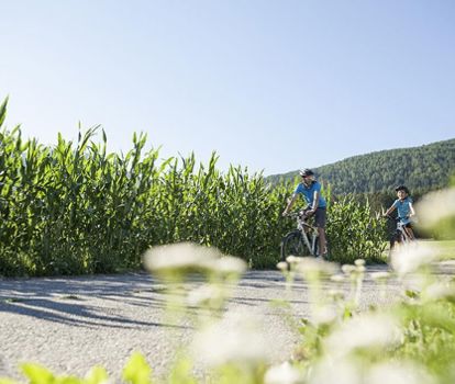
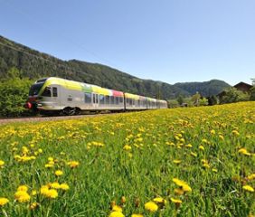
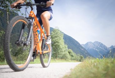
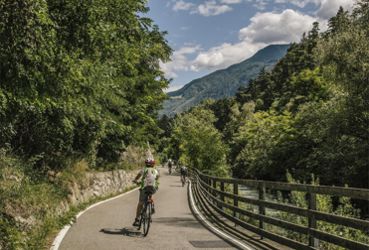
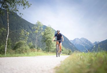
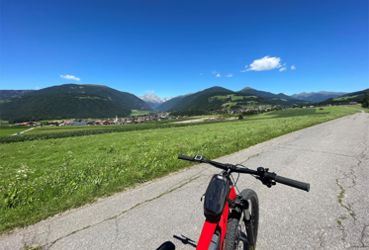
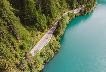
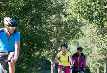
This leg San Candido|Innichen - Lienz is simultaneously the third leg of the Pustertal|Val Pusteria Bike Route and the first leg of the Drava-Drau Bicycle Route which leads from Dobbiaco|Toblach (the source of the Drava) to Maribor in Slovenia. As the name suggests, the wide, secured bike path runs along the Drava River and is paved with a slight descent for nearly the entire route. For this reason, this leg is especially popular with families with children and bicyclists who may not be in peak condition. The railway route which runs parallel to the bike route makes it possible to plan a trip very individually. And because the bike path receives sufficient use, the infrastructure of services and care is well developed along the route, leaving no wish unfulfilled for bicyclists.
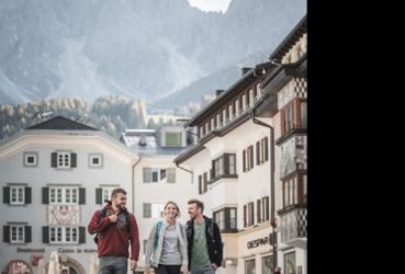
The bike path passes many small villages in East Tyrol, the largest of which is Sillian. That is the location of the beloved Wichtelpark. Lienz, the City of the Dolomites, as it calls itself, has a great deal to offer and can look back on a long history. The settlement, which had been founded back by the Illyrians, was continued by the Romans and developed into the Roman city of Aguntum.
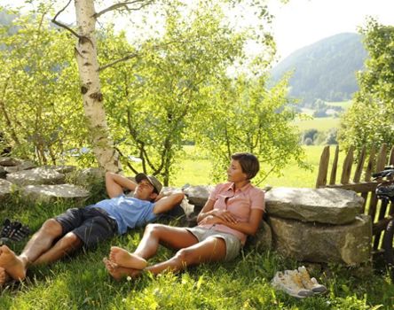
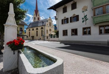
The bicycle leg from San Candido|Innichen to Lienz begins in San Candido and leads through the village center toward the east to Versciaco|Vierschach (elevation 1,188 m/3,900 ft.) After a brief ascent, it then continues along the Drava to Prato alla Drava|Winnebach (elevation also 1,188 m/3,900 ft.) and on to the border crossing. After passing the Austrian border, the bike path then runs for a stretch along the levee. After following quiet side streets, you will then reach Ahrnbach and Sillian. Starting from the Kegelstube inn in Sillian, the green bicycle route signs with the inscription R1 will accompany you to Lienz. You can enjoy the trip all the way to Lienz (elevation 673 m/2,208 ft.) without any automobile traffic. This is followed by the villages of Tassenbach (elevation 1,099 m/3,606 ft.), Strassen (also 1,099 m/3,606 ft.), and Abfaltersbach (983 m/3,225 ft.). From the bridge over the Drau located there, there is a short (700 m/half mile) alternate route to an idyllic rest area with a fire pit for all those who would like to pass a little time out of the saddle. For everyone else, the bike path continues along the left bank of the river. After a few kilometers, bicyclists will pass the village of Mittewald (elevation 1,261 m/4,137 ft.) and then reach Assling (elevation 1,128 m/3,701 ft.), where the sports and recreation center offers, among other things, the opportunity for a refreshing swim. The bike path then continues along the southern bank of the river into an increasingly narrower valley. This is where the Galitzenbach stream flows into the Drau River, and over the course of millennia, the work of the water has cut and shaped a remarkable gorge into the rock. The Galitzenklamm, as the gorge is known, can be visited during the summer months. Having left behind the narrow part of the valley, after a few more kilometers of pedaling the Lienz Basin opens up – surrounded by the Dolomites and the foothills of the Schober chain. The destination of this leg, Lienz (elevation 673 m/2,208 ft.), is no longer far away, and the well-marked bike path leads past various sports facilities directly to the railway station or into the city center.
By Car:
Arriving from the west: Take the A22 (Autostrada Brennero-Brennerautobahn) to the Bressanone/Val Pusteria-Brixen/Pustertal exit, then continue along the main highway SS49-E66 to San Candido|Innichen.
Arriving from the east: Take the A10 (Tauern Autobahn) from Austria as far as the Spittal interchange, then continue on the E66 highway to the Lendorf exit. From there, take the B100 past Lienz. The road changes name to the SS49 after the Italian border, and continue on to San Candido|Innichen.
Directions
Free parking is available at the Parkplatz Ost in San Candido.
By Public Transportation
San Candido|Innichen is easily reached by bus or train.
Schedule Information
For the return to the starting point, the rail connection Lienz to San Candido|Innichen or to Fortezza|Franzensfeste is recommended.
Schedule Information


