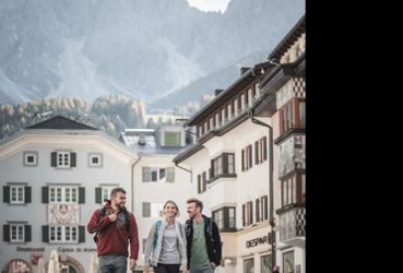
Pustertal Valley Bike Route : Leg Innichen - Bruneck
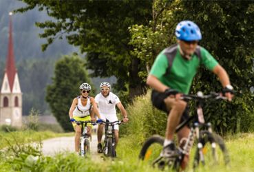
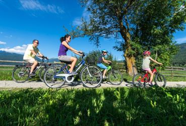
E-Bike & Pleasure Cycling
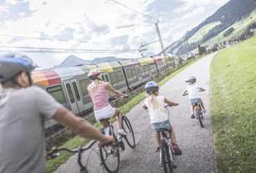
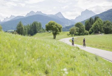
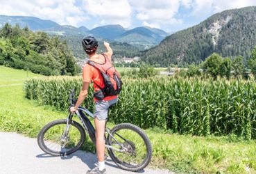
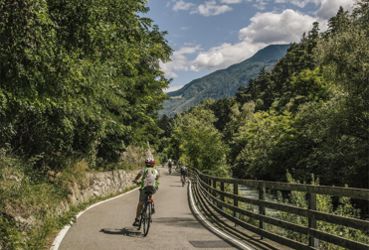
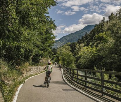
On the San Candido|Innichen to Brunico|Bruneck leg, the green color of the meadows, fields, and forests dominates the view. Along the railway route, sometimes through inhabited areas and sometimes through an undisturbed natural landscape, the bike path runs with a constant up and down from village to village as far as Brunico, the economic center of the Pustertal|Val Pusteria.
From the center of town, the railway station, or the Parkplatz Ost parking lot, this leg leads from the village of San Candido|Innichen toward the west. Immediately before the turnoff for highway SS49, change to the bike path that continues straight. Follow this as far as Dobbiaco Nuova|Neutoblach (elevation 1,210 m/3,970 ft.) The bicycle path leads through meadows and fields in the direction of Villabassa|Niederdorf. Shortly before the campground, there are underpasses below the main road and the train tracks. After Villabassa (elevation 1,154 m/3,786 ft.), another underpass leads past the train tracks at the edge of town. The route then leads at times along the side streets with little traffic and at times on a separate bike path to Monguelfo|Welsberg (elevation 1,087 m/3,566 ft.). From there, it continues in the direction of the Valdaora|Olang reservoir.
Along the road paralleling the train tracks and directly next to the lake, the bike route follows a gravel path through the forest close to the shore. Soon after leaving the lake behind, the gravel path leads to a narrow asphalt road that leads to Valdaora di Sopra|Oberolang (elevation 1,080 m). It then continues on to Valdaora di Mezzo|Mitterolang (elevation 1,048 m/3,438 ft.) and Valdaora di Sotto|Niederolang (1,024 m/3,360 ft.). From there, the bicycle route continues on to Villa di Sotto|Unterwielenbach and Perca|Percha. Far away from cars and any other noise, the bicycle trail then crosses through thick woods and a few tunnels until the destination of this leg, the city of Brunico (elevation 835 m/2,740 ft.) is reached.